


Soulton LIDAR
Below is a LIDAR map made in the course of work here by Cambridge University researchers. It highlights a number of archaeological features on our farm.
Context
Context for these images can be found by reviewing the history page of our website.
Images
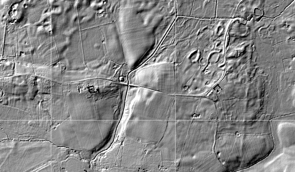
This is the broadest view of the landscape, note the geological features to the north west.

A Lidar view of the closer environment of the hall, note the Roman Road to the east:
The image below shows Medieval ridge and furrow surviving in the Wood, which in those days must therefore have been down to arable cropping; the route of the 1200s water mill race clearly visable:
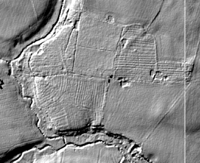
Garden features running south and east of the manor house

Detail of the Roman road

In particualr, you can see significant 1500s/1600s garden features running south and east of the hall. There is also an indication the road used to run a distance to the north of its current route.
Field walking suggested that the presumed 'motte and bailey' was in fact a more exciting fortification dating from the 1130s in the Anarchy in reign of King Steven. Also of interest, is the ridge and furrow which is all over the woodland. The landscape here has been much more dynamic than we had previously thought. LIDAR stands for Light Detection and Ranging, is a remote sensing method that uses light in the form of a pulsed laser to measure ranges (variable distances) to the Earth.